Wrocław, Poland · Remote / international collaboration
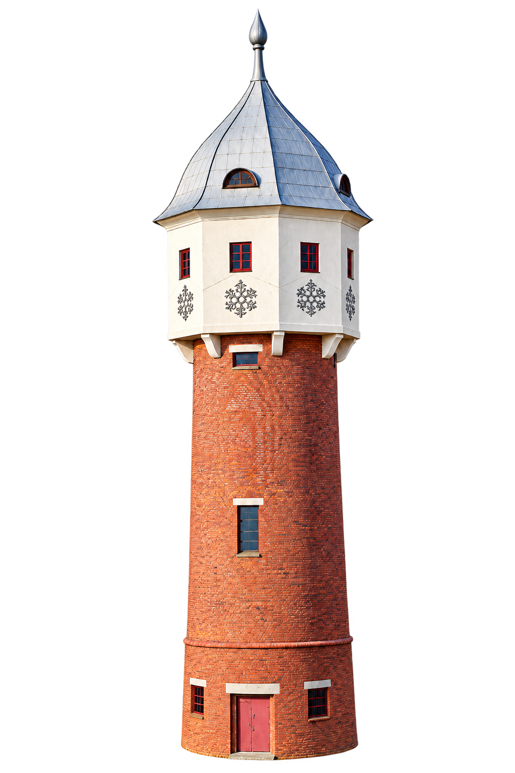
Grodków Water TowerPhotogrammetric reconstruction
From supplied data to usable outputs.
I work with UAV imagery, point clouds and spatial datasets you already have. Depending on your project, I can prepare mapping and 3D outputs, process GIS data, or automate repetitive tasks—with quality checks and clear notes on the results.
Services
Focused processing support for your imagery and spatial data.
UAV / Photogrammetry Processing
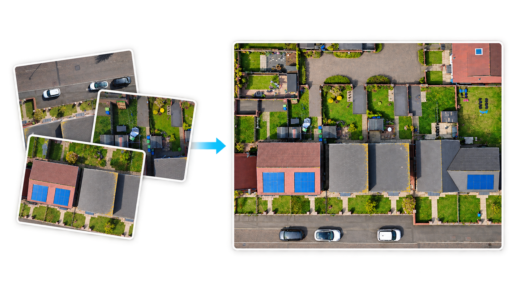
Turn supplied UAV imagery into mapping and 3D outputs, starting with image quality checks and dataset preparation.
Image quality checks and dataset preparation
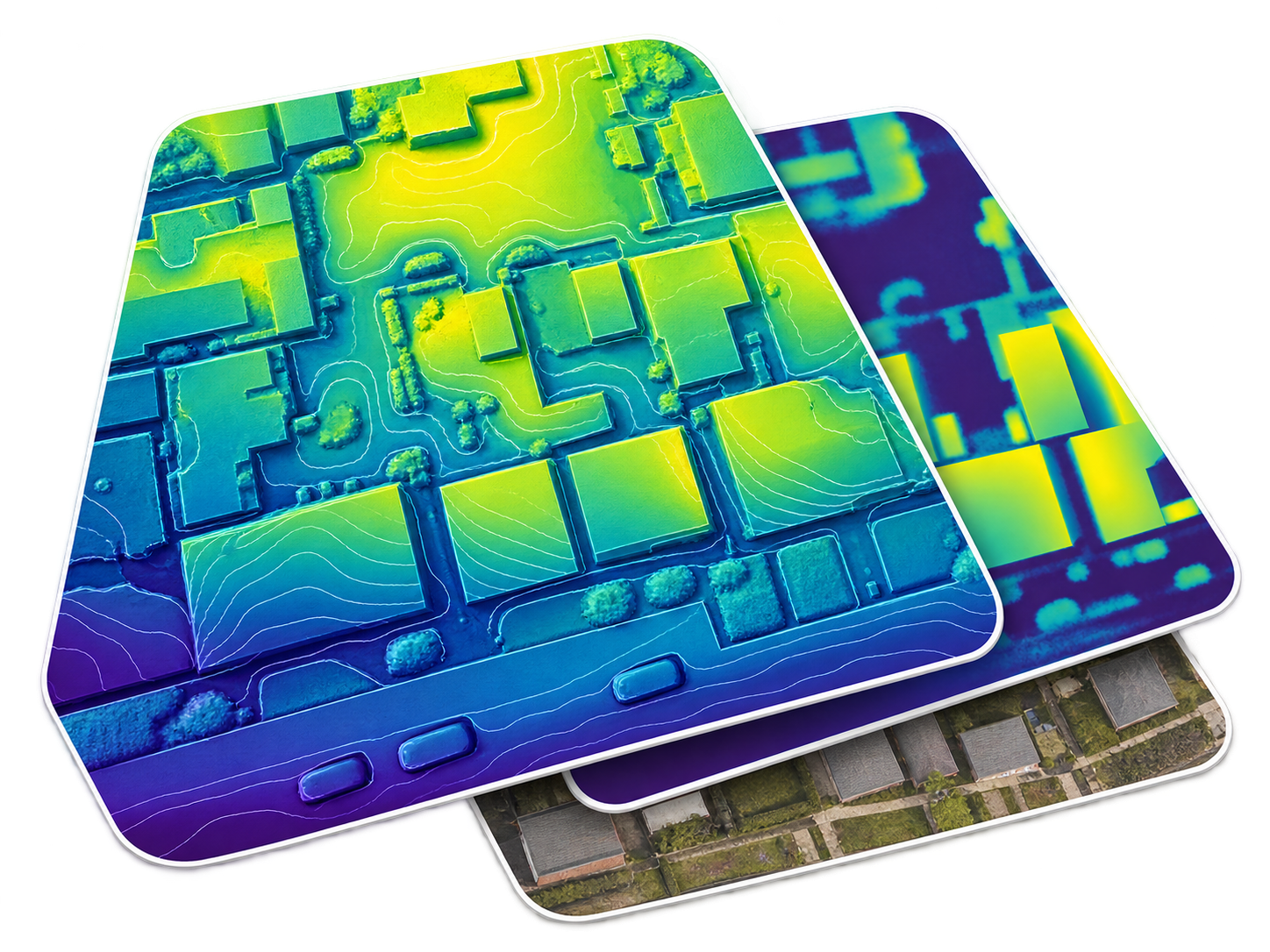
Orthophotos and surface / terrain models (DSM / DTM)
Photogrammetric point clouds and 3D reconstruction
Point Clouds / 3D
Review and prepare point clouds for further analysis, comparison or use in your GIS workflow.
Point-cloud inspection, cleaning and preparation
Point-cloud comparison and output review
Terrain and elevation analysis
GIS / Spatial Data
Prepare consistent spatial data for mapping and analysis, with checks on geometry, attributes and coordinate systems.
Raster and vector processing in QGIS
Spatial-data validation and coordinate-system preparation
Contours, spatial analysis and GIS-ready outputs
Python / PyQGIS Automation
Make repeatable GIS tasks easier to run with scripts tailored to your data and processing requirements.
Batch raster and vector processing
Automated data checks and validation scripts
Repeatable QGIS processing workflows
Suitable outputs are agreed after reviewing the source data and your requirements.
How I work
Dataset review comes first, so we can agree a practical scope before processing begins.
01
You provide the data
Share your imagery, point cloud or spatial dataset, along with the intended use and outputs you need.
02
Dataset review
I assess the inputs, identify gaps and discuss suitable outputs, limitations and the processing scope with you.
03
Processing
I prepare and process the data using a workflow suited to the dataset and agreed requirements.
04
QA / validation
I check the outputs for completeness, consistency and processing artefacts, and document relevant limitations.
05
Deliverables
You receive the agreed outputs in suitable formats, with notes on processing, checks and any limitations that affect their use.
What determines suitable outputs?
Source-data quality, coverage and capture geometry, available metadata and georeferencing, and your project requirements. I review these together before we agree which outputs the dataset can support.
Featured Work
Technical case studies in dataset review, processing and interpretation—with findings and limitations documented.
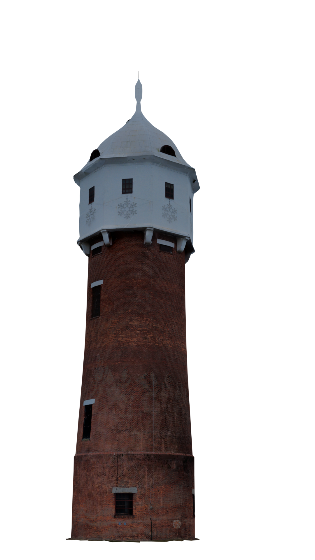
Grodków Water Tower · Reconstructed model
UAV photogrammetry / 3D reconstruction
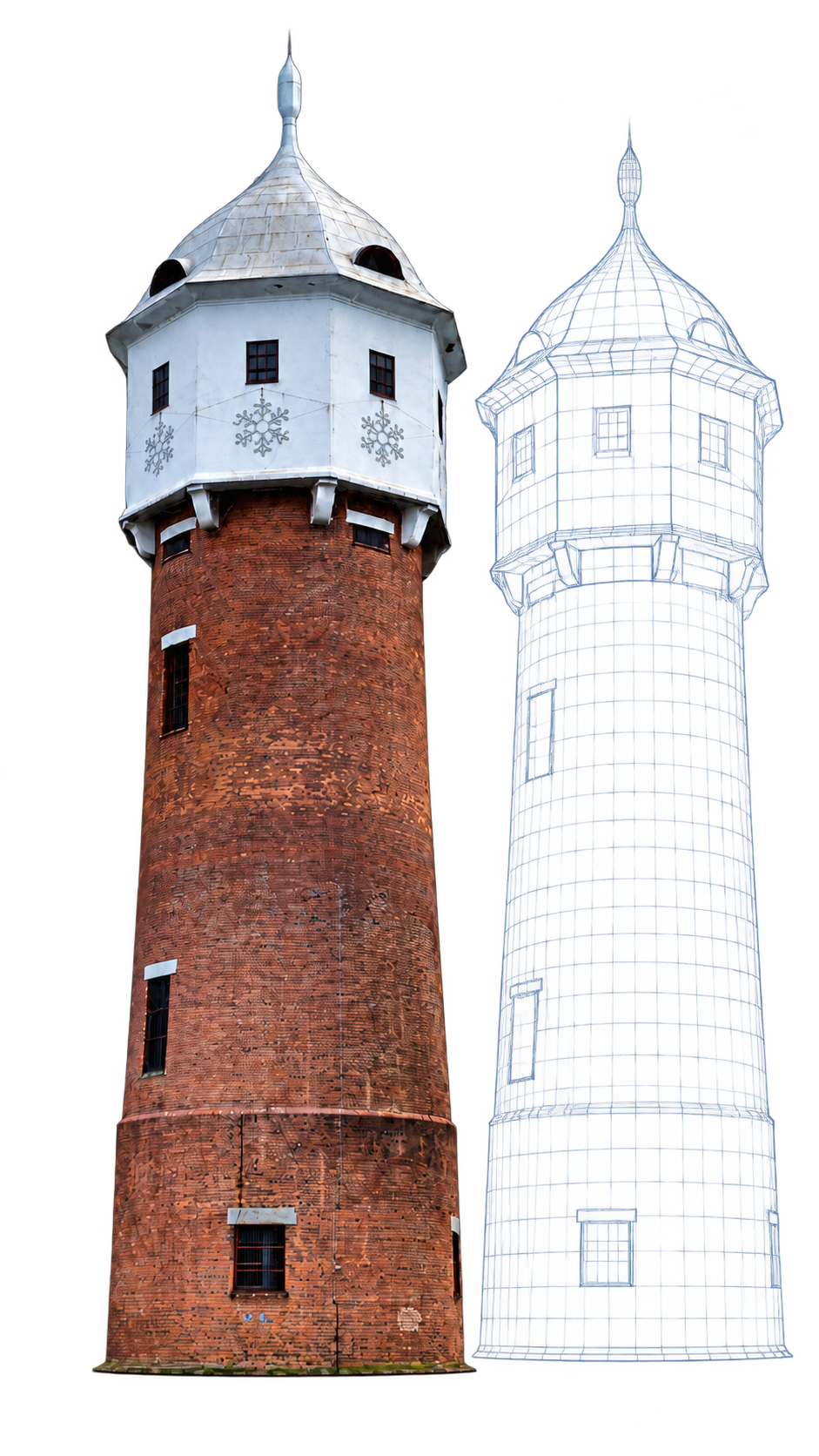
Grodków Water Tower
Image quality checks and dataset selection guided a comparison of photogrammetric reconstruction strategies. The work combined automated and manual image review, capture-geometry assessment, WebODM processing, and point-cloud and model inspection.
Key finding
A smaller, more coherent dataset produced a more useful reconstruction than a larger mixed dataset.
WebODM · CloudCompare · QGIS · Blender
No RTK positioning or surveyed ground control points (GCPs) were used. Absolute accuracy was not verified to survey-grade standards.
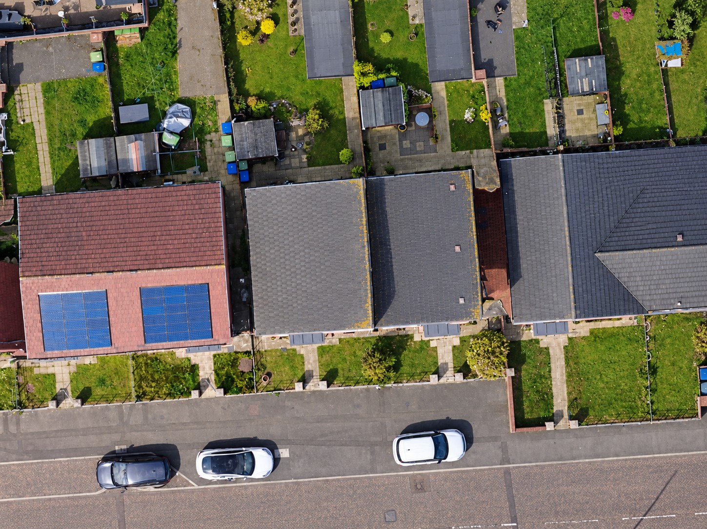
Image and EXIF review, manual image selection and WebODM processing supported orthophoto, surface and terrain outputs, relative-height analysis and 3D reconstruction. Nadir-only and nadir-plus-oblique results were compared.
Key finding
Adding oblique imagery improved façade and 3D reconstruction compared with nadir-only imagery.
WebODM · QGIS · CloudCompare
No RTK positioning, surveyed GCPs or independent checkpoints were used. Absolute positional accuracy was not independently verified.
OutputsOrthophoto · DSM / DTM Point cloud · 3D reconstruction
Shitan TW · Processing workflow
UAV data processing / QA
Shitan TW
A UAV dataset processed through image quality checks, WebODM reconstruction and GIS review. The work covered orthophoto, surface and terrain models, a dense point cloud and 3D reconstruction.
Workflow focus
Processing setups were compared to evaluate output consistency and document the workflow from source imagery to reviewed outputs.
WebODM · QGIS
Additional Technical Work
Supporting work in terrain processing and GIS automation.
LiDAR / Terrain Processing
Processing airborne LiDAR (ALS) data from LAZ point clouds through ground classification and DTM generation, using PDAL, CloudCompare and QGIS / PyQGIS.
Tools selected to suit your dataset and required outputs.
Spatial data & delivery
QGIS, GeoPackage and spatial databases for preparing, reviewing and organising GIS-ready data.
Processing & automation
Python, PyQGIS, Rasterio and NumPy for repeatable workflows, raster analysis and batch processing.
Photogrammetry & point clouds
WebODM / OpenDroneMap, CloudCompare and PDAL for reconstruction, point-cloud review and terrain processing.
About
DroneCube Analytics — Igor Hajducki
I’m an independent specialist based in Wrocław, Poland, focused on UAV and geospatial data processing. I work remotely and collaborate on projects in Poland and internationally.
My technical background includes approximately seven years of professional experience with DJI UAV systems: diagnostics, repairs, troubleshooting, fault isolation, warranty assessment, technical documentation and post-repair quality control.
Discuss your dataset
Have UAV or geospatial data that needs processing?
Share a few details about your dataset, intended use and required outputs. I can review the data and help define a practical processing scope.